Tuesday, September 12, 2006

Day Nine: Steedman to McKittrick

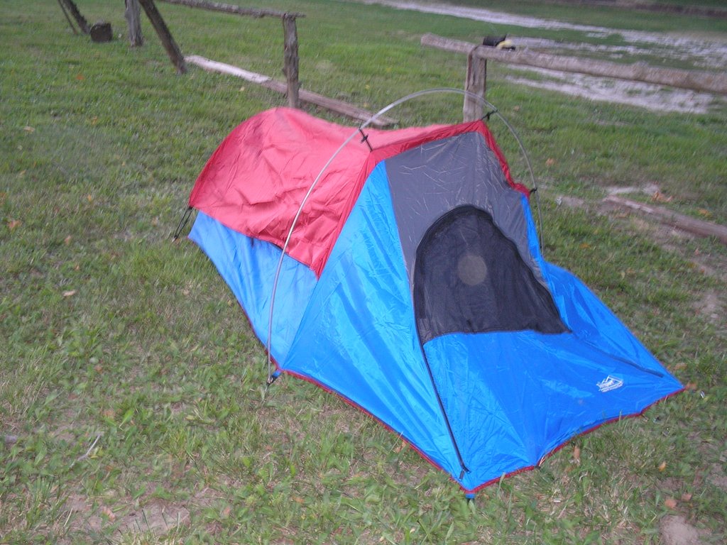
I spent the night in Steedman outside of the local bar. It had been called "Steedman's Only Bar" but recently the bartender, Terry, bought the place. The new name is Terry's Suds and Grub. There is no charge to camp outside the bar, which also serves food, so I figured that was a deal too good to pass up.

Well, with every silver lining there are clouds. When I got to Steedman, I proceeded to set up my tent and go into the bar. When I asked to put in a food order, I was told there was no food. "Well, we can fix some appetizers and stuff like that," Terry said. I said that would be fine. So I had fried potatoes with sour cream and a toasted cheese sandwich. While I was eating, Terry then tells me that it might rain and that the tent was located in an area that tended to flood. So, I moved the tent to a little bit higher piece of land.

At about 9 p.m., I was getting a little droopy, so knowing that the bar would be going strong until around 1:30 a.m. or so, I figured I would go on and get a little sleep. I laid there planning out the next day for an hour or so and then started cat napping. Well, sure enough, the bar closed at 1:30 or so. But all that really meant was that the party moved out to the porch and parking lot near where I was camping. I got to listen to a medley of Hank Williams Jr., gravel crunching, hooting and hollering until about 3:30 a.m. And, of course, it never rained that night. 
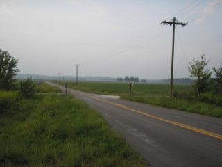
A little after 5:30 a.m., I decided to go ahead and start getting things together and begin the day's hike. I pulled out of Steedman a little after 7 a.m. The river valley was foggy and still cool. It was really a nice time to be out on the trail.

The first sight on this stretch of the trail 
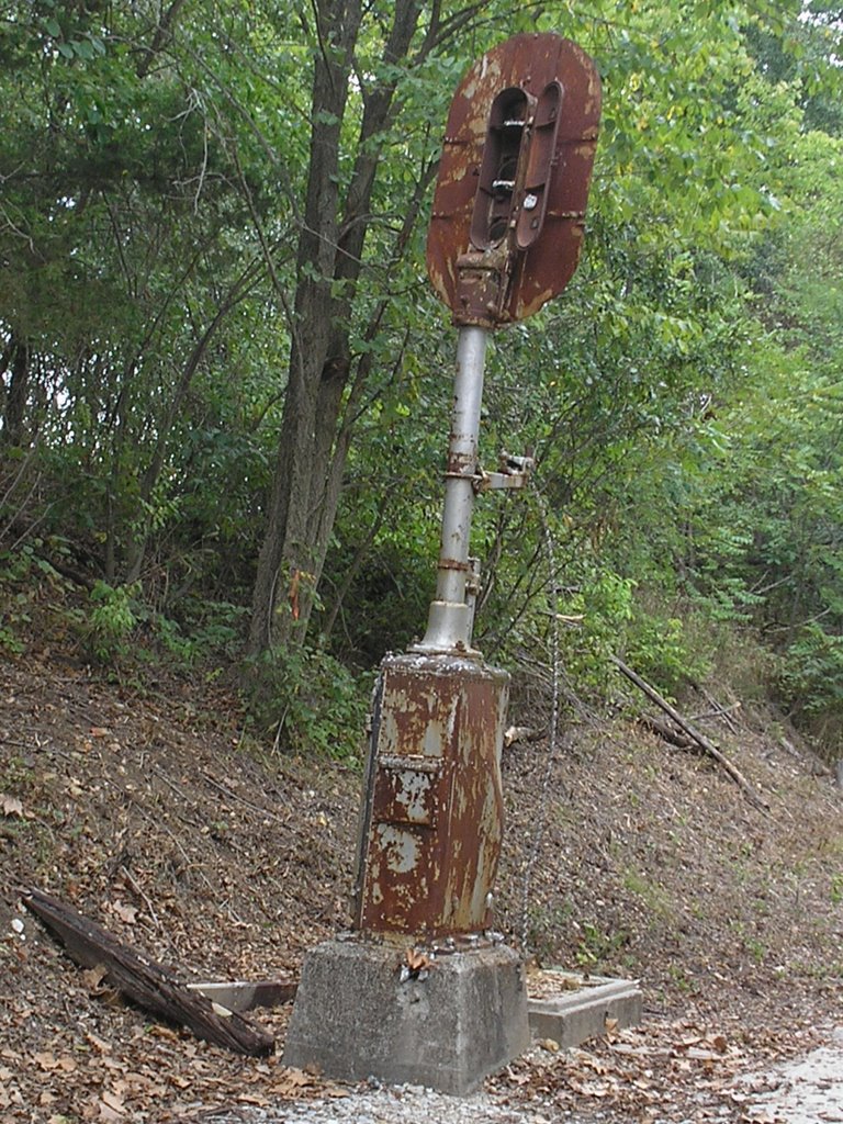
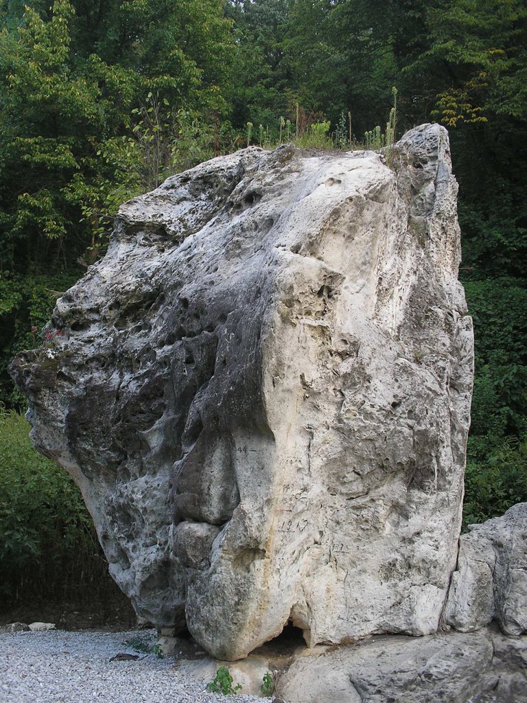
is the Standing Rock. It is a rock formation that has all the flood levels marked on it for the last 100 years or so, and possibly even earlier. It looks like it fell off the bluff nearby, but it is actually a structure that has been there all along, and the surrounding rock eroded away from it. Nearby is a Lewis and Clark marker that talks about the first animals that were unknown to science at the time that were described by the expedition. I think it was a rat that infested the woods around this area.
This was my second day out with the fully-loaded backpack and I was feeling the effects on my feet, just like I had before during the first leg of the trip. The blisters were beginning to return with a vengeance, and the knees and back were also feeling the strain. In fact, during the previous day's walk, I checked my feet and had a couple big masses of skin come off where I had been blistered before. While this is normal, what was bad is that new blisters were forming on the older areas. Not a good thing. At this point, I decided to just press on.

The first town that I hit after Steedman was Portland. I was in the area where German settlers had colonized during the 1830s and '40s.

While I was there, I met an older man that was riding his bicycle all over North America. He was from Alberta, Canada, and he had ridden to Fort Worth the previous summer, across East Texas into the Mississippi River valley, hit all the blues sites in the Delta, and was now riding the Lewis and Clark Trail. I asked him how far he intended to go, and he said "October." He said he wanted to get into the Dakotas before he quit for the year. Wow.

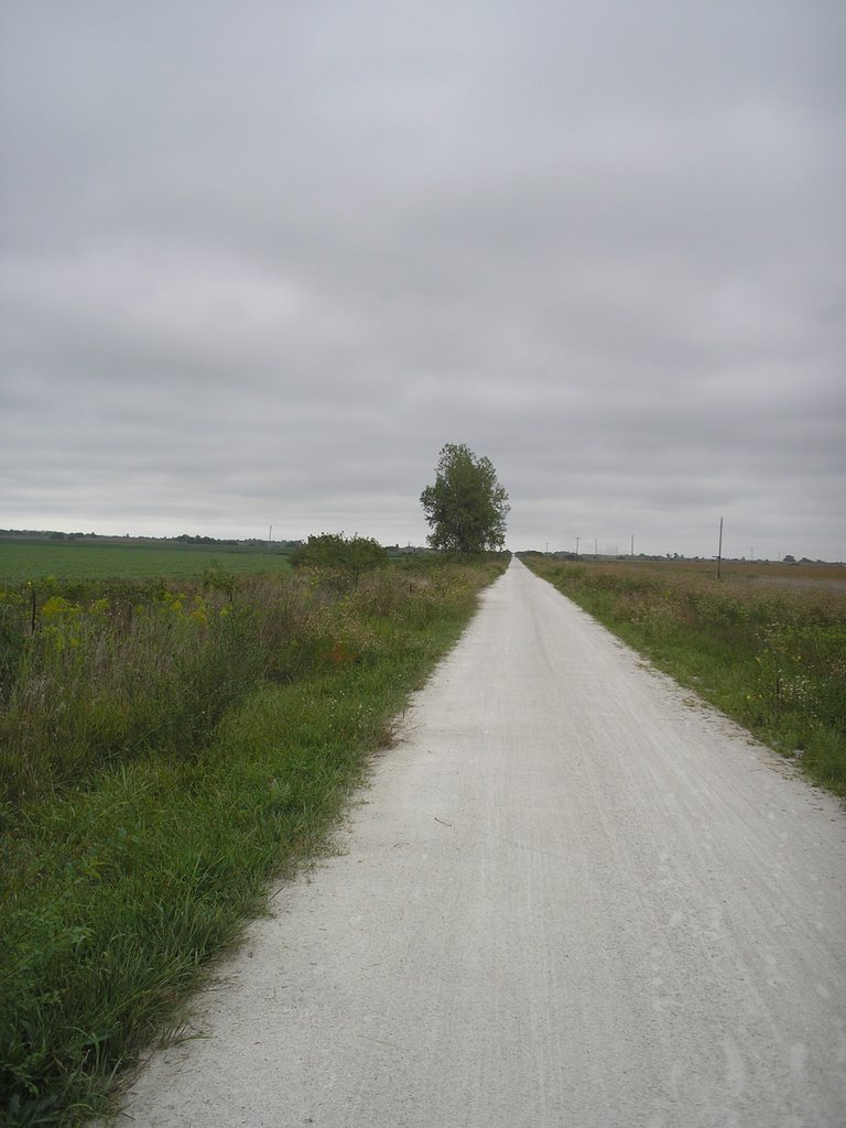
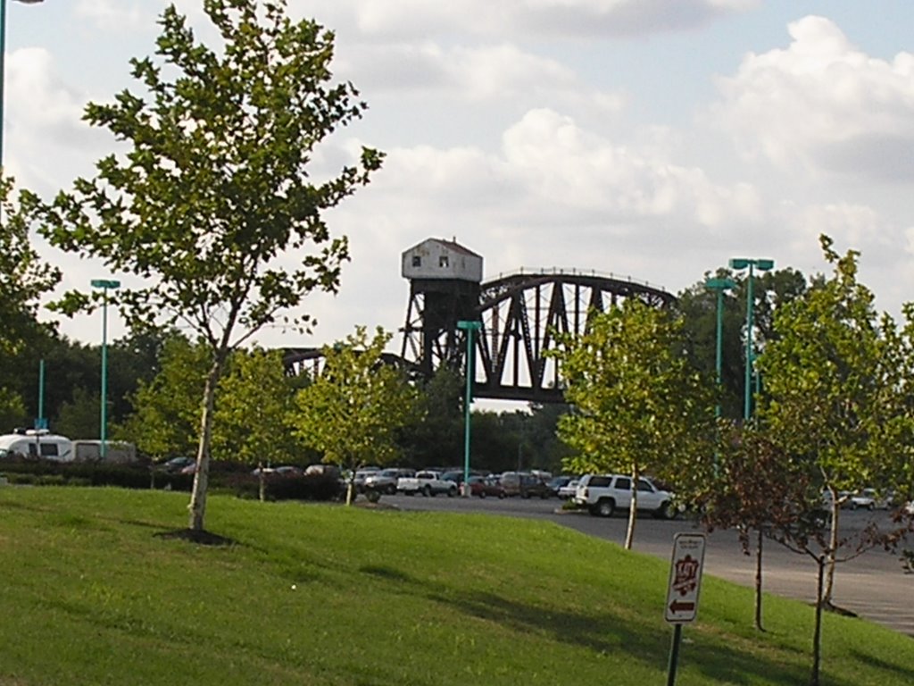
Highway 94 leaves the side of the trail for the next six miles and it becomes you, the trail, the bluffs and the river. It is some of the most wilderness-heavy stretches of the trail. It was gorgeous. You really don't get a sense of the scale of the bluffs until you are approaching them on foot. Amazing.

At Bluffton, I stopped for lunch. There is a campground/weekend concession stand there, Steamboat Junction, that is run by a couple that graduated from the same high school that my brother, sister, nephew and niece graduated from in North County. It is sure a small world. The lady told me that business has been slow and they were thinking about shutting down. She thinks gas prices are curtailing some of the trail-users. That would be a shame, since it is one of the few rest stops along this whole section.

My feet were really beginning to give me trouble after I left this point. The heat was also pretty high and there was very little shade. It seemed to take me forever to get to the next waypoint, Rhineland. The town has a couple of really pretty country churches.

When I stopped at Rhineland, I checked my feet again. What I saw was not good at all. The blisters were beginning to bleed a little and I was developing a new line of them from my right ankle around to the back of my heel. I knew that I couldn't go on much longer with this happening.

I reluctantly decided to press on to McKittrick, call the B&B where I had reservations so I could get taken over the bridge into Hermann. I also decided that I had better call home and fill them in on my condition. It broke my heart to have to admit defeat, but with my feet breaking down and the associated pain, I was really losing the point of this whole trip, to experience the sights and scenes along the trail. All that I could think about was when the day and the trek were going to be over. This, in short, becomes drudgery.

I called the family, and made some preliminary plans to be picked up the next morning in Hermann. I then called Birk's Gasthaus, the B&B I was staying at, and Rick, one of the owners told me he would be there in five minutes.

I have to give Rick and the B&B all the 
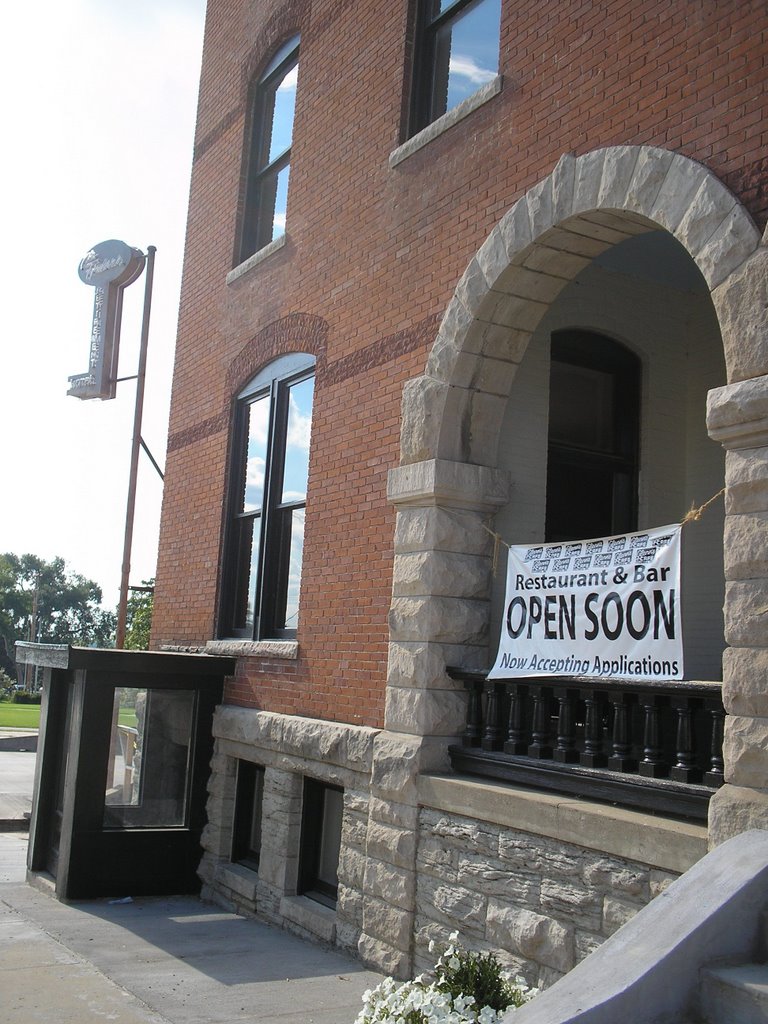
credit in the world. After he picked me up, I asked him if he would mind swinging by some fast food place so I could get something to eat. He said that would not be a problem, but that he had a frozen pizza in the over and would gladly give me half. I took him up on the offer. In the meantime, he told me that he had to shift the room reservations around a little bit, and that I was actually being placed into one of the larger rooms, but at the price that I was renting the small room that I reserved. This is looking even better. After I got settled in, took my first shower after two days of sweating, I hobbled downstairs to eat pizza and drink a couple of beers. The next morning, breakfast was great and, since my cellphone wouldn't work in Hermann, Rick loaned me his to call home and arrange the pickup. What a guy! Birk's is an oasis. If anyone EVER wants to take a trip to Hermann and stay overnight, this is THE PLACE to stay. Rick and his wife Dianne are wonderful hosts. I give it six stars on a scale of one to five.

So, I had to bail out of the trail. I am disappointed, but I did complete 163.8 miles on this trip with 61.3 miles to go. Part of me feels like I should have just found a way to tough out the last 3 1/2 days and finished it off. But I think I might not have been able to walk for a week afterwards. As I write this on Tuesday around noon, the blisters are subsiding somewhat, but now the knees and shoulders are yelling at me.

But having said all of that, I must say, I WILL finish this hike. By my estimation, I will need a span of four days to knock out the rest of the trail. I will be posting more in the next day or two about lessons I have learned, and some strategy I want to try to tackle this project.

Day Eight: Wainwright to Steedman

This was the beginning of the last long leg of this hike. I was feeling sort of mixed emotions about starting. I have been thinking about this trip for so long, it is going to seem weird to have it all behind me. But, on the other hand, I am looking forward to finishing and having other things to plot and plan. Anyone care to analyze that bit of mental acrobatics?

Theresa and I had a meeting to attend in the morning, so I didn't get out to the trail until 11 a.m. This is a little later than I planned, but that is the way things work out. Wainwright is basically a wide spot in the road. There is one road coming off of Highway 94 with a couple of houses and a church. There are no services available, but it does make a nice jumping off point.

Along this stretch, you are following Highway 94 the entire time with the bluff almost constantly right next to the trail. Interspersed among the bluffs are the occasional farm houses. Some are like this one, your classic utilitarian Midwestern frame house that has been there for almost 100 years. You also see some really modern houses that would fit right into any subdivision that you would see being built across the country. I have no way of proving any of this, but I am betting that those houses belong to the farmer's kids who are more of the weekend-type agrarians. Times certainly do change. I really like seeing all the old barns. This one was nestled between the trail and the bluff. If I wasn't afraid of getting shot, I would have loved to have checked it out in more detail.
Every town that I have been through so far has at least one, but often more grain elevators. Usually they look pretty deserted. Since the harvest is on, you do see the trucks backed up around them at this time of year. As was walking into Tebbetts, I finally got to see one of the trucks unloading. To was a little poetic, it looks like a stream of gold pouring out. You get an idea of just how much corn is produced around here when you see things like this. There was truck, after truck, after truck coming to these silos.

At Tebbetts, they have the Turner Shelter hostel available. It is basically a bunk house. The accomodations are very bare-bones. I think they have a shower, toilet and bunkbeds with a pad of some sort available all for a small donation. Pretty cool. There is a store/bar across the road from the Turner Shelter. This is a good thing since this is another of the trailheads without running water available. I will refrain from my rant about the state providing water at the trailheads for the moment. The next town that you come across is Mokane. At one time, I believe that Mokane was a district headquarters for the MKT. The town still has a bar, a few churches, a store and some interesting old store fronts. The coolest part of the town, I thought, was the old jail. It is a stone building with a steel cage door. I wonder if the need for the jail had anything to do with all the railroaders that were around this town? Surely all the fine, upstanding pillars of the community would never drink or carouse to excess! Do any of my former railroad relatives have any comment?

I really don't have too much to say about this picture. It is a bridge over the Auxvasse River. I just liked the way the sun played on the geometry of the steel. Hey, I have to get a little artsy-fartsy some time! I wish I were a better photographer. There are so many cool images available out on the trail, I just don't have the talent or equipment to do many of them justice. I think someone could do a cool coffee table book just on the trail and the surrounding area.

Day Seven: Hartsburg to Wainwright

This was the last day that I was planning on being home for a while. The temperatures started out pleasant and the sun was out, so all was looking good. My backpack was nice and light since I only had an extra water bottle, a couple pbjs, a change of clothes and a notebook. If only every day on the trail could be this light!
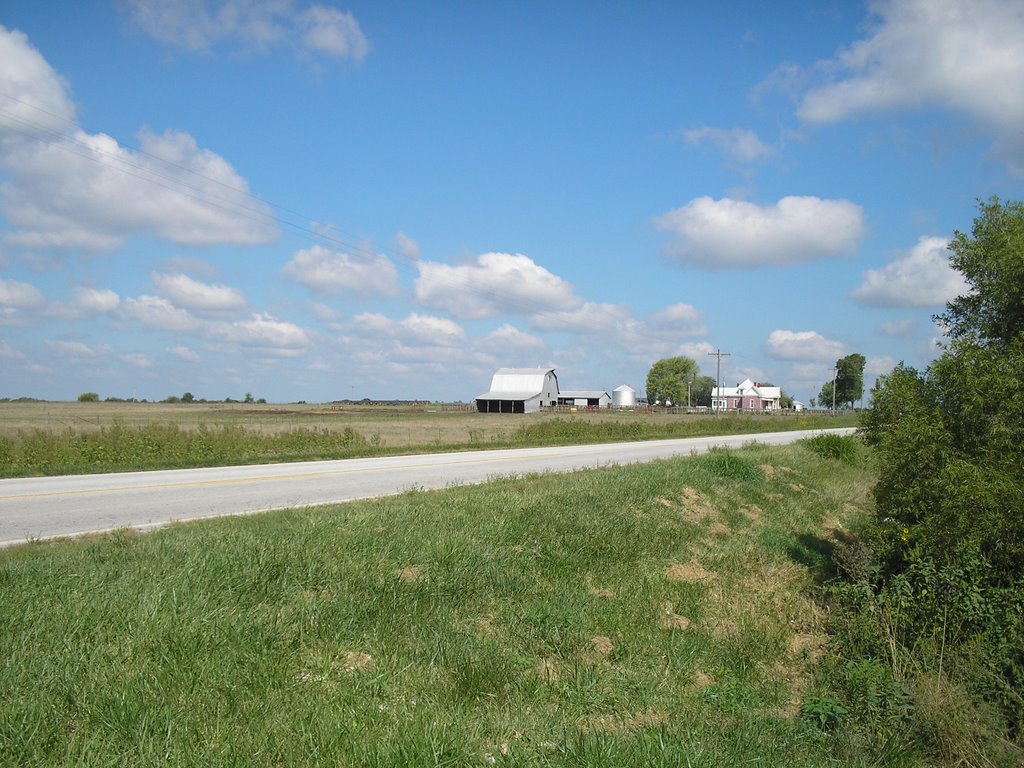
I am well into the floodplain now, and I still love the views of the river. I guess I am meant to live near a significant body of water.

This section of the trail works its way south, under Highways 63 and 54, past Jefferson City and begins the long parallel with Highway 94 all the way into the St. Louis area. When you are not next to the river, the scenery is pretty much bean or corn fields on one side, and bluffs on the other. When I started this walk, while the corn harvest had just started, it still felt like late summer. Now, you can just barely see the change in the foliage, and begin to see some of the leaves beginning to fall along the wooded portions of the trail. Autumn is definitely coming along soon.

As I have passed under most of the overpasses along the way, I have noticed that there are bird that build nests out of mud under almost all of them. I guess I should look up what type of bird these are, but their nests are pretty cool looking. This shot was taken under Highway 63 just as it enters the floodplain near Jeff City. The nests look either like the wine vessels the ancient Greeks and Romans used, or like the adobe cliff dwelling you see in Southwest U.S. Maybe the nests were an inspiration for one or both. I never was able to catch sight of a bird entering or leaving one of these mud nests, but maybe I will in the future.

As I got into the Jefferson City area, the clouds started to build. I later found out from Theresa that Columbia had had a decent rain shower while I was on the trail. While the sky looked threatening where I was, and the wind picked up a little, I never felt a drop. The sky was looking pretty cool, though. Oh, and the rest area in North Jefferson was great! Hmmmm, right near the headquarters of the state Department of Natural Resources... go figure! lol
The trail does not actually go through Jefferson City, but you do come within a mile or so of the Capitol. This is the view through the trees from the trail.

This was one of those few days where I really didn't see too much in the way of wildlife. Oh, the squirrels are always present, and there are deer tracks ALWAYS on the trail and the hawks and buzzards patrol the bluffs seeking dead hikers, I am certain, but I really didn't see many live animals. I did see these bones, though. I don't know if they are from a deer, hog or what, but they were still articulated. I kinda think someone had lunch. Ah, life and death along the Katy!

Saturday, September 09, 2006

Day Six: McBaine to Hartsburg

It was time to get back into the swing of things. It was time to get some mileage in. It was time to test drive the new pads in my shoes. In other words, it was time.
I started out this morning by delivering my truck to the Hartsburg trailhead for the return trip home. I guess that committed me to finishing this leg of the trail. My load was considerably lighter today, since all I really needed to carry was lunch and something to drink.

The scenery has definitely changed from the prairies and rolling farmland of the last week. I am in, and will remain, in the river bottoms for the rest of the trip. I guess I am just meant to live near the rivers, I love the woods and murky creeks coming out of the bluffs. Here is a little taste of the view.

The first notable site along this section of the trail is the Pierced Rock natural arch that is high on the bluffs a few miles south of McBaine. Numerous explorers noted this formation, including Lewis and Clark. The French fur traders that preceded them used the French name for the site, which I will not mangle by attempting to spell for you. Luckily, I guess, our ancestors "Americanized" it and the name of the creek nearby to Perche Creek. And I always thought that the creek was full of perch fish. Yahoo!

As you head further down the trail, you cross numerous large creeks emptying into the Missouri River. There is a large conservation area, Eagle Bluffs, nearby. Most of the wildlife you see, as a result, tends to be of the bird persuasion.

You probably can't make it out, but that is a blue heron perched on the stump at the mouth of this creek.

One of "oasises" in this part of the trail is Cooper's Landing. It is a boat dock, bar, Thai restaurant, bbq joint and campground right on the big river. If you need it, the usually have it. I really need to get back there when there is a band playing. Maybe I have latent river rat tendencies.

As has often been the case, when you get near the end of the trail, it is good to see some civilization. As I made my way into Hartsburg, there is a really pretty little church about a quarter-mile from the trailhead. I am not sure what denomination it is, but it is a classic building.

Well, that about sums up Day Six. As I write this on Saturday morning, I am getting ready to start on the final leg of this walk. I will not be able to update this for about a week and a half. I am not too sure how many people read this, but don't despair, I will have lots to update when I get back to the computer. Right now, the target date for me to finish all of this up is Thursday evening, Sept. 14, when I hit the riverfront in St. Charles. The next day, Theresa and I have to fly to Texas for our (yikes) 25th high school reunion, so I will be back home sometime late that following Monday. Cheers, everyone!

Thursday, September 07, 2006

Day Five: New Franklin to McBaine

Well, confession, they say, is good for the soul. I am hoping this is going to be good for my soles.
I had every intention of making this walk, but my feet were in such a painful state, that I had to take the day off. My ankle was a little swollen, the blisters were throbbing, and walking the trail was not a pleasure or an adventure. It was just becoming drudgery.
So here is my thinking: This section of the trail is one that I have used for training over the last year or so. If you read one of my postings from about two seeks ago, I published an account of walking from Rocheport to Boonville as a sort of prototype of what I wanted to post for each day of the walk. I figured that I have traveled this section pretty extensively, so if I was going to go on to the injured reserve for a day, this was the day to do it. I can report that taking this day off has made my feet feel quite a bit better. Theresa and I went to Wally-World and found some cushions that I have placed into my shoes to shield the balls of me feet, and they seem to be doing the trick. I think that I may be back in business. Next on the hit list is the section between McBaine and Hartsburg.

Day Four: Pilot Grove to Boonville

After spending the night at home, my feet felt a little bit better.

I had been using a new pair of running shoes, thinking that they would have better cushioning around the balls of the foot, where I had been experiencing some blistering before. Thinking about my feet, I realize now that with the really heavy weight of my fully loaded backpack, I think it causes my feet to spread out and forces parts of my feet to rub that don't normally come in contact with the soles of the shoe. I decided to try two different solutions. I went back to my older shoes, which feel like they have better arch support, and carried very little in my backpack. I was going to be sleeping at home that night as it is, so I didn't need the tent, bedroll, all the water and clothes.

Anyways, on to the walk.

Pilot Grove is one of my favorite towns on the trail. It seems like the economy is in fairly good shape, and after passing through a lot of towns that were little more than ghost towns, it was nice to see a place with some life in it. The trailhead is right in the middle of town and, TADA!, it has running water! What more can I ask for? I read all the boards at the trailhead that describe the upcoming sections of the trail, and, much to my surprise, one of the comments said that cyclists consider the 11 miles between PG and Boonville to be the hardest section of the whole trail......... GREAT! But, after yesterday, how hard could it be? Actually, not very. Give me this section any day over the Clifton City-Pilot Grove run.

After spending two days on the prairies, then climbing through wooded hills, it was nice to get into some nice Midwestern farmland. The farms all seemed to be tidy. The houses were, for the most part, kept up, and the weather was spectacular. This was going to be a good walking day.

Then my feet started hurting in a new way. My left ankle starting giving me really stabbing pains. I could barely use it. I have never broken a bone that I know of, but this is what I imagine it felt like. The only thing I could do was take a few Ibuprofen that I always carry, and see if it would dull the pain. After about a half-hour, the pain did seem to fade.

One of the big sights, at least for me, was crossing I-70. I have lived near this interstate for most of my life. I have never had this perspective of it, though.
Ok, so I am easily amused!
As I assumed, the walk into Boonville wasn't all that bad. My blisters still hurt, but the route was not all that bad. In fact, if it weren't for my feet, this would have been a very easy day.

Oh, on another front, you get to see lots of animals as you walk across rural areas. I have seen horses, goats, turtles, snakes, lizards, spiders, lots and lots of squirrels, turkey, deer, and even, I think, a bobcat. But I have to say, my biggest fans on this whole trip have been the cows. I can be walking along, minding my own business, and the cows will gaze upon me like I am a rock star. They could be munching on whatever is the choice cow food of the day, and they will stop and stare. You would think I was a walking bale of hay. The calves will scamper around and run up to the fences. The cows just stare. I haven't crossed paths with any bulls yet, but I will get back to you on that. I am a god to these animals!!! lol

But back to the narrative.

The slope that you work up as you enter Boonville is called Lard Hill. Aunts and uncles, insert lard sandwich stories here. Anyway, the story goes that way back when the railroad killed this woman's prized hog. When they offered her $5 for the swine, she was insulted and demanded more cash. The MKT said "tough." The story goes that the woman rendered down the hog, and she and her kids poured the lard on the tracks over the next couple days, and the trains couldn't get enough traction to get up this hill. Eventually, the railroad relented and paid the woman what she wanted. I can't vouch if the story is true, but the hill is pretty steep.

I slowly made my way into Boonville. As I said before, this leg of the trail is not at all difficult. Boonville itself seems to be prospering. The casino must be pumping some cash into the economy. The old train depot is pretty and the endangered Katy railroad bridge is awe-inspiring. Note, I did NOT say "awesome." I think that word has lost all meaning now that french fries are "awesome" and its "awesome" when you get a cold Coca-Cola out of the fridge, or its so "awesome" that someone gave you a paper towel. ... OK, those of you who have worked with me know this rant already. Moving on.

My feet, while feeling a little better than the day before was still giving me trouble. I had parked my truck in New Franklin, which is just across the river from Boonville. I realized that if I kept pounding them like I was, I was probably not going to be able to finish this walk, so I decided to knock off a little early and met up with my brother at the Frederick Hotel so he could give me a lift to my truck.

By the way, the new Glenn's should be open within the next week or so, he was having a servers' meeting. Come early and come often!

Day Three: Sedalia to Pilot Grove

Maybe I should name this one Bataan Death March II. This was, by far, the most difficult day to date. The distance I covered on this leg was something on the order of 24 miles. Make that 24 miles on two badly blistered, aching feet with a 50-plus pound backpack and with probably 15 or so of the miles on a slight, but detectable uphill slope. But on to the narrative...

Since I began planning this trip, I have always been a little intimidated by this section. It is long, with little water, and really no way to divide it into a more manageable distance. I knew that it was going to be tough, but I guess my thoughts were that if I got through this one, the rest of the trip would be relatively easy.
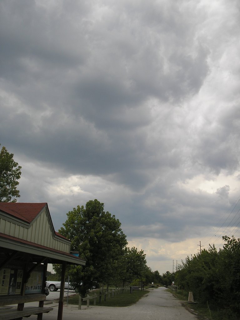
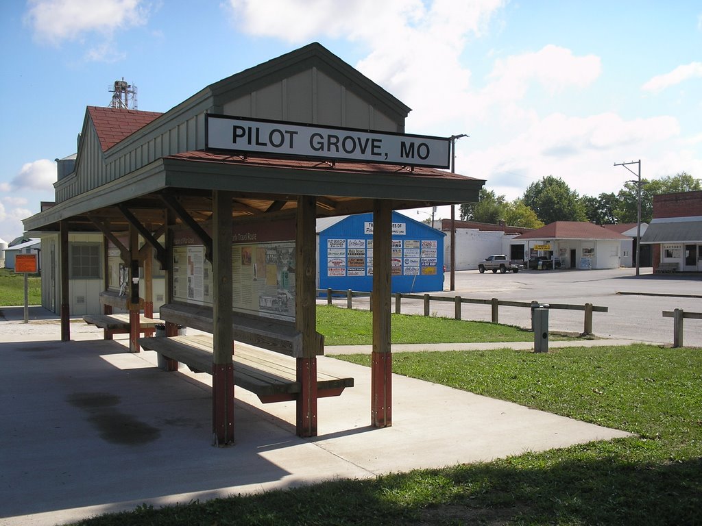
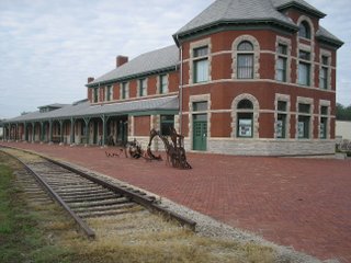
After spending a nice night at the Hotel Bothwell, I started on the trip east. This part of the trail goes along the streets in the eastern section of Sedalia. It is somewhat of a run-down section of town, but hey, that's OK by me. After walking about six blocks, you come across the Katy Depot. It was built about 100 years ago, and has been restored. It is really nice looking.

In this picture, you see a steel sculpture of a train going over hills. Little did I know that this was an accurate map of the next chuck of the trail. It especially felt like I had been walking barefoot on sharp steel before the day was over. But I protest too much!

The first part of the trail out of Sedalia is fairly uneventful. My main occupation was stopping every few miles to adjust my shoes and apply more moleskin to the ouchies!
After the first 8 miles or so, I did come across a fairly cool bridge. If it seems by looking at this picture that the trail seems to be tilting upwards a little, guess what? It is! It was right in this area that I had to do a gut check, and just decide that my feet were going to hurt, but I was just going to have to get through this section of the trail. In the Katy Trail Guidebook, it says that cyclist sometimes get psyched out on this part of the trail, thinking the whole 225 miles is going to be one long grade. I can understand those feelings.

After 11.7 miles, you come to Clifton City. Up until this stop, every one of the trailheads had water available. Well, not Clifton City. It was a nice trailhead physically, with shade, picnic tables, etc., and the brochures say that water is available. Not so! The aforementioned guidebook said that water was scarce in this section. I took the matter to heart, and was carrying six liters of water -- something like 13 pounds or so on my back. This sure didn't do my aching feet much of a favor. I really do believe that in 2006, there should not be a trailhead on this whole route that does not have water. I understand Clifton City in on well water, but guess what, DNR? Dig a damn well and provide the water! Better yet, there are plenty of overlapping rural water districts around. Figure this one out. This is a safety issue. I guess this is not quite as big an issue for cyclists, but 24 plus miles between reliable water sources is too long.

Ok, now I am stepping back off my soapbox. I sat barefooted at the picnic table in Clifton City and ate my MRE lunch before heading on to Pilot Grove. Basically, my feet were aching so much, and the grade was so continuous, that I pretty much just kept my head down and just pounded out the miles.

I did take note of a few of the sights on this section of the trail. This is advertised as the only intact railroad signal still on the trail. It is a little worse for the wear. I wish I had felt a little better along this section, I would have liked to study this a little more than I did. Well, maybe if I take up cycling, I will spend a little more time gazing upon this relic.

I do feel a little bad that I didn't take in a few more of the highlights on this section, but frankly, there weren't that many and I had a lot of distance to cover. I will say that there is some pretty scenery as you climb up to the plateau that Pilot Grove sits on.

By this time in the walk, I was tired and sore, but wanted to get off the trail as soon as I could. Normally, I try to stop every three miles or so for a breather. Just to get this leg done, however, I walked basically non-stop for the last 8 miles. When it got down to the last couple, you just focus on picking up your feet and putting them back down. I have to admit, that the thought of hitch-hiking that last few miles into Pilot Grove was tempting. I didn't succumb to that, but it sure sounded like a good idea at every road crossing.

With about a mile left to go, I caught sight of the grain elevator at Pilot Grove. I started laughing out loud. I was pretty much physically and mentally whipped.

My plan was to camp in Pilot Grove that night, and had contacted city hall for permission. When I got to the park where I was going to sleep, I called Theresa to let her know I had made it. As I started to tell her about my feet, she asked me if I wanted her to come get me so I could sleep at home that night. At first, I thought "No, this is not what I planned" but as my feet continued to throb, I thought better of it. In less than an hour, I was on my way home, and feeling much better.

Wednesday, September 06, 2006

Day Two: Windsor to Sedalia

This morning I was feeling a little of the effects of yesterday's hike, but over all I was feeling pretty good.
The morning was cool, foggy with a few sprinkles and rain showers. This may sound unpleasant, but with a 20-mile hike before me, this is actually nice weather. It definitely beats either 100-degree heat or storms with lightning and hail. I was pretty loaded down, since I was leaving any direct support from Theresa and my aunt and uncle and because I wasn't too sure about water availability along this stretch of the trail. I carry 1.5 liter water bottles, and I had three of them filled, and one empty one for the next day. Each filled bottle is slightly more than three pounds, and that starts to add up. Oh, and the above picture shows the trail passing into Pettis County. Hey, it thrilled me at the time!

The terrain I hiked through today was definitely prairie. A lot of the scenery reminded me of when I lived in North Texas. It was pretty flat and somewhat featureless. I kind of like it, though. It really gives your mind a chance to wander, and if you don't let it psych you out, it is kind of cool to see how far you have walked and how far you still have to go. Individual trees really become major landmarks to you as you walk along.

Walking in early September, you get a feel for the changing seasons. Just a few weeks ago, the corn was green,the soybeans were verdant and everything seemed to be growing by leaps and bounds. Now, though, is harvest time around here. The farmers are bringing in the field corn, and all the grain elevators are humming with activity. I found it fascinating, but then again, I am a child of the suburbs. I have never been this close to a harvester in operation.

A short while later, I started the climb up to the highest point on the Katy Trail. If you live or vacation in more mountainous areas, 900-some-odd feet is not very impressive, but you sure feel a sense of accomplishment sitting on a bench and thinking about how high you are above the rest of the trail. Just don't get the mistaken notion that the rest of the trail is all down hill. HAH!

My mid-day destination was Green Ridge. It was a nice little trailhead in the middle of town. The restrooms were clean and they had water, so I can't complain much about this stop. The town reminded me of some of the little towns around Wichita Falls, where I used to live. There didn't seem to be a whole lot to the town, but the people there seem to be doing fine.

I am thinking I may do a separate post after I finish this walk with just random wildlife pictures, but I have to include this one. I think this is one cool-looking spider. I know my daughter Julie will hate this picture, but what the hell! I was stopped at a road crossing and eating a granola bar when I glanced to my left and saw this. At first, I thought it was a wildflower, but when I looked again, I could see that it was a large spider. I could have reached out and touched it. I love the pattern on its back.

As I tramped on, I started to slooooowly work my way toward Sedalia. Once I got into town, I walked up Ohio Street toward my stop for the night, the Hotel Bothwell. It was built in 1927 and was restored a few years ago. Many of the rooms were renovated and enlarged to more modern-day standards, but they left a portion of the rooms as close as they could to the 1927 standard. I chose one of those. I wanted to see what they were like, and they were the cheapest rooms, so it was just meant to be!

After I walked in, and I am sure I was looking pretty haggard after 20-plus miles, I told the person at the front desk that I had a reservation. She looked it up and all was well and good, with the one problem that my room was on the seventh floor and the elevator was broken. I think she could see the look in my eyes, and told me that they are using the freight elevator to shuttle guests to their rooms. That was actually kind of cool, since it was one of those old cage-type elevators with a hand operator. I am sure it was a drag for the desk people, but I can remember as a little kid that there were still a few elevator operators in some of the buildings in downtown St. Louis. I think it added to the ambiance of the place.

My room was interesting. Like I wrote earlier, it was a "1927 room." That means there is room for a bed, a small writing desk, a deep closet, a tiny bathroom off to the side and, in a nod to modern times, air conditioning and a TV set almost at the foot of the bed. It was all the room that I was going to need for one night.

On a down note, I started to develop some pretty nasty blisters again on my heels, one of my toes and the soles of my feet. This is not the best of news with 180 or so miles more to walk. Time to break out the moleskin!

Day One: Clinton to Windsor


Well, the big day is finally here!
Theresa and I stayed with my Aunt Liz and Uncle Jack Lowe the night before at their house near Warsaw. The next morning, Sept. 2, they shuttled me out to Clinton to start this trek. I got a rousing send-off .

The trail at Clinton starts out pretty flat -- not surprising since you are traversing what is known as the Osage Prairie. There is a fair amount of shade along the trail, but the countryside is pretty much pasture land interspersed with corn or soybean fields. There are lots of thistle and other wildflowers along the trail. I kind of like this picture. I am no photographer, that is for sure, but I think this one turned out OK.

About half way through the day, I hit Calhoun. The town at one time was a center for pottery in the region, but that has played out. There are quite a few empty storefronts, and two of the places that trail-users sing the praises of, Jugtown Food and Feed, and Whistlestop ice cream were locked up tighter than a drum. However, the Bullseye gas station seemed to be the center of economic activity in town. They had a nice, shaded picnic table next to the store that I took advantage of.

I was just about to write off Calhoun as being a thoroughly unremarkable place, when I stumbled into their trailhead. Of the seven or so that I visited on the first leg of this hike, Calhoun's wins the best trailhead prize hands down. It had water, shade, clean flush toilets, the works! It is surprising what will make your day when you are walking across the state.

After leaving Calhoun, I was trudging my way toward Windsor, when two men rode past me on bicycles. One was about my age, and the other one was older. We exchanged greetings, and I thought nothing more of it. A little later, the older man came back from the opposite direction and pulled up. After asking me the standard "Where are you going; Where did you start" questions. He told me that next fall, he is planning on riding the trail end to end to celebrate his 80th birthday. Wow! I just feel 80 after walking each day.

After walking along for a few more miles, I finally had the day's destination in sight. You get almost giddy when you get ready to stop for the day. That Bicentennial Caboose sure looked great to me! I waited at the trailhead for about 20 minutes, then Theresa, Liz and Jack pulled up to take me back to their house. The shower sure felt good! All in all, it was a good first day.